Location:
The event will start at Beals Point.
Date & time:
September 15, 2018
Race will start promptly at 5:00am - RELAY
Runners briefing / Packet pickup:
Runners briefing / Packet pickup:
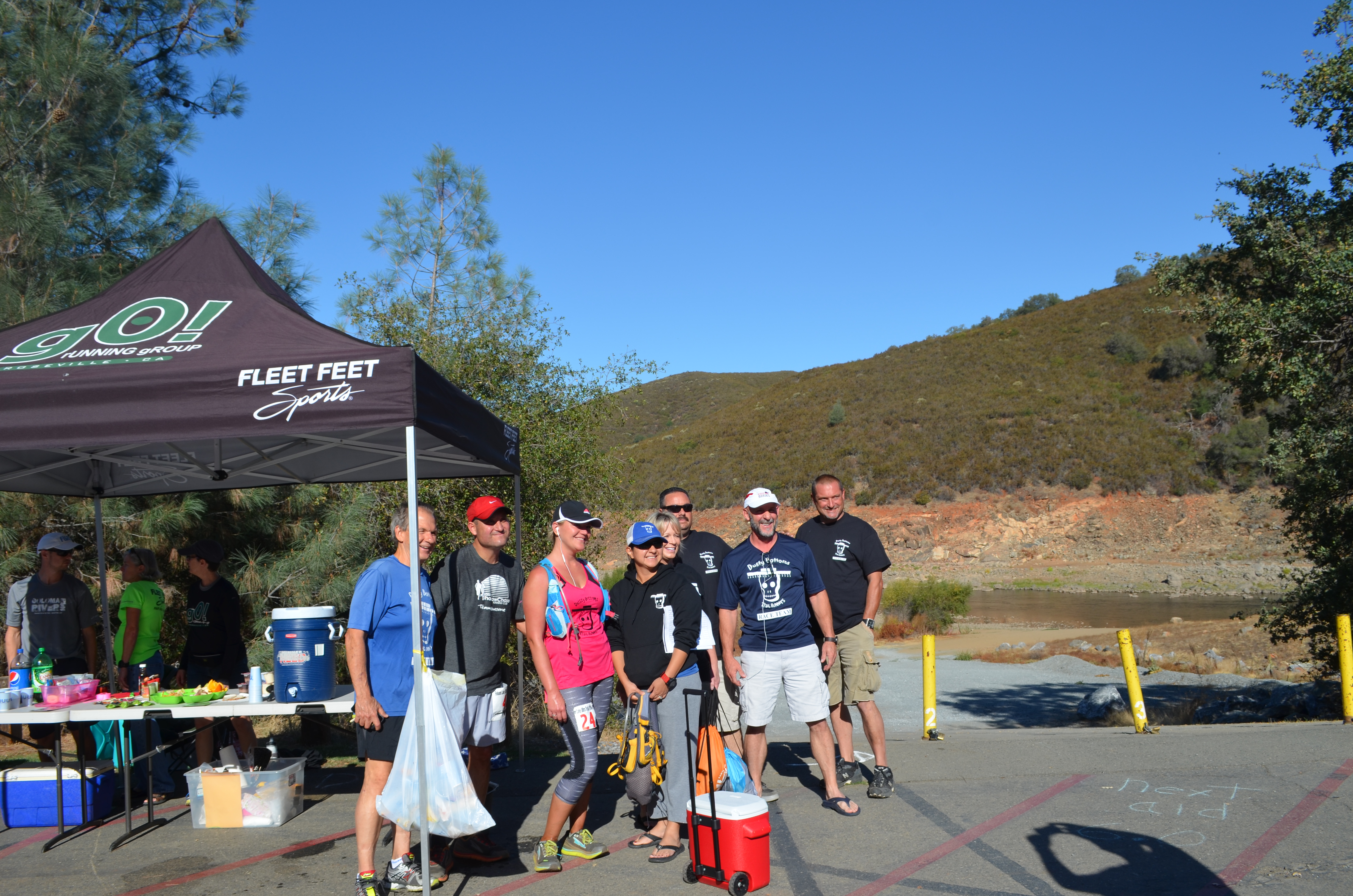
Joins us the day before race day for packet pickup and runners briefing at Beals Point. We have some sweet swag that will be distributed and raffled during the runners briefing.
A lot of information will be shared during the runners briefing. We would like to minimize any doubts/concerns about the race course, aid stations, dropbags, and rules.
Update (8/24/2018)
Our optional but recommended runners briefing is being moved to The Auburn Aid Station ; if you cannot attend the runners briefing, don't worry, we will have your bib available the morning of the race starting at 4am at the start area (Beals Point).
We highly recommend attending the briefing as we will discuss every aspect of the race. From course marking, trail conditions, and much more!
Every runner will receive 15% off of any product at The Aid Station. Including beer. Yes, a running store with beer = Genius.
Schedule of events:
- Packet pick up from 5:00 – 6:00pm
- Runners briefing 6:00 – 7:00pm
- Packet pick up from 7:00 – 7:30pm
Information:
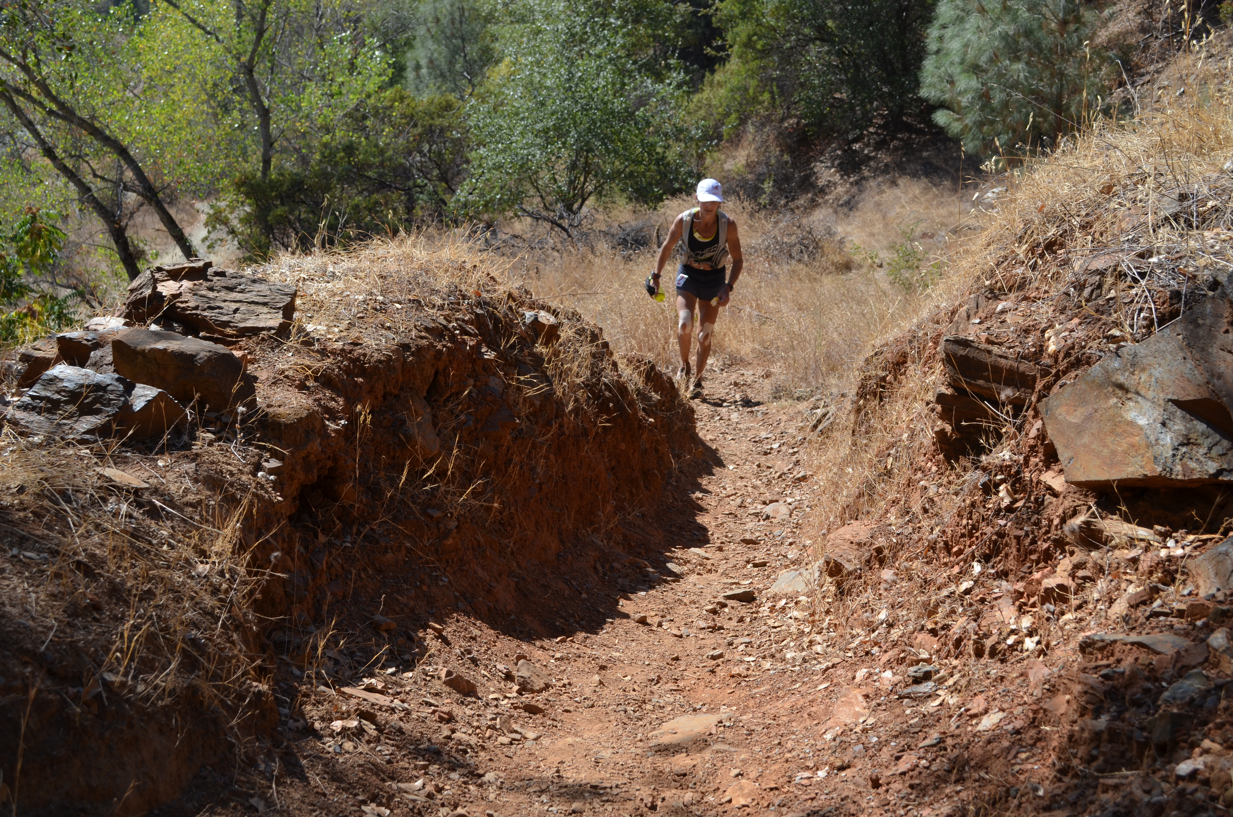
Folsom Lake Ultra Trail (FLUT) is the only event to run all the way around Folsom Lake, to our knowledge, this may be the only race covering this length of distance while circumnavigating a body of water in California.
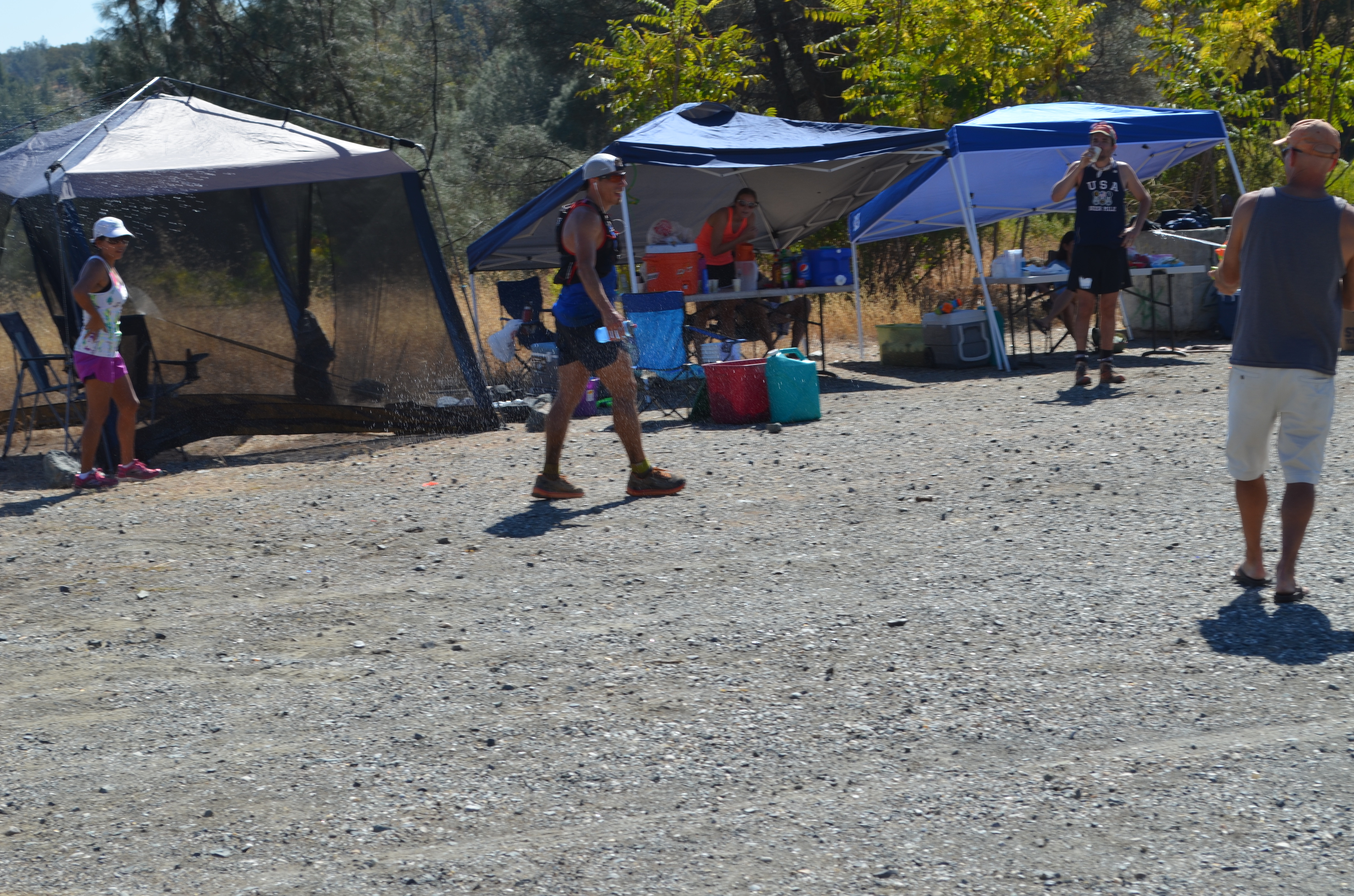
FLUT has a total of 12 aid stations that are packed with all kinds of food that ultra-runners need, water, electrolyte, boiled potatoes, chips, candy, gel packets, salt pills, and the later aid stations will have wholefoods such as soup, burritos, bacon, etc.
This race changes directions every year, 2018 will be a clockwise course. The course is a mix of trails and roads (85% Trail, 15% Road).
In this page you will find all the information related to the relay race.
Rules:
- A relay team must complete the full course to be considered finishers.
- If a leg of the relay is not completed, then the team is considered as DNF (did not finish).
- If a runner of a team cannot complete his/her leg, only a runner of the same team can pick up the remainder miles of the leg.
- Runners are responsible for their transportation after each leg.
- Finishers swag will be given as the last runner crosses the finish line. (Runners are encouraged to join their team member on the last .25 mile)
- Relay runners cannot have a pacer at any point of the race.
- Relay runners cannot have drop-bags.
- Relay runners must keep their wristbands on during the whole event.
Reminders:
- Runners starting a new leg; do not forget to give your vehicle key to the runner finishing the leg.
- Runners finishing a leg; do not forget to leave a change of clothes in your vehicle.
Click here to read the race report from the 2015 1st place overall, Jean Pommier.
Click here to see all the pictures from our 2015 event.
Relay team:
When a runner register as a relay team captain, this runner will receive an email for the other team members to finish their registration. Each runner pays only 1/3 of the registration cost unlike other years when the captain assumed the whole entry fee.
Only one runner at a time. This event consist of three legs:
1st leg – From Beals Point to Gate 142 AS (21.5 miles**)
2nd leg – From Gate 142 AS to Salmon Falls AS (24.5 miles**)
3rd leg – From Salmon Falls AS to Beals Point (22.4 miles**)
**All distances are approximate. This course was mapped using a Garmin 920, Garmin 220, and Suunto Ambit 3, we got a different distance every time**
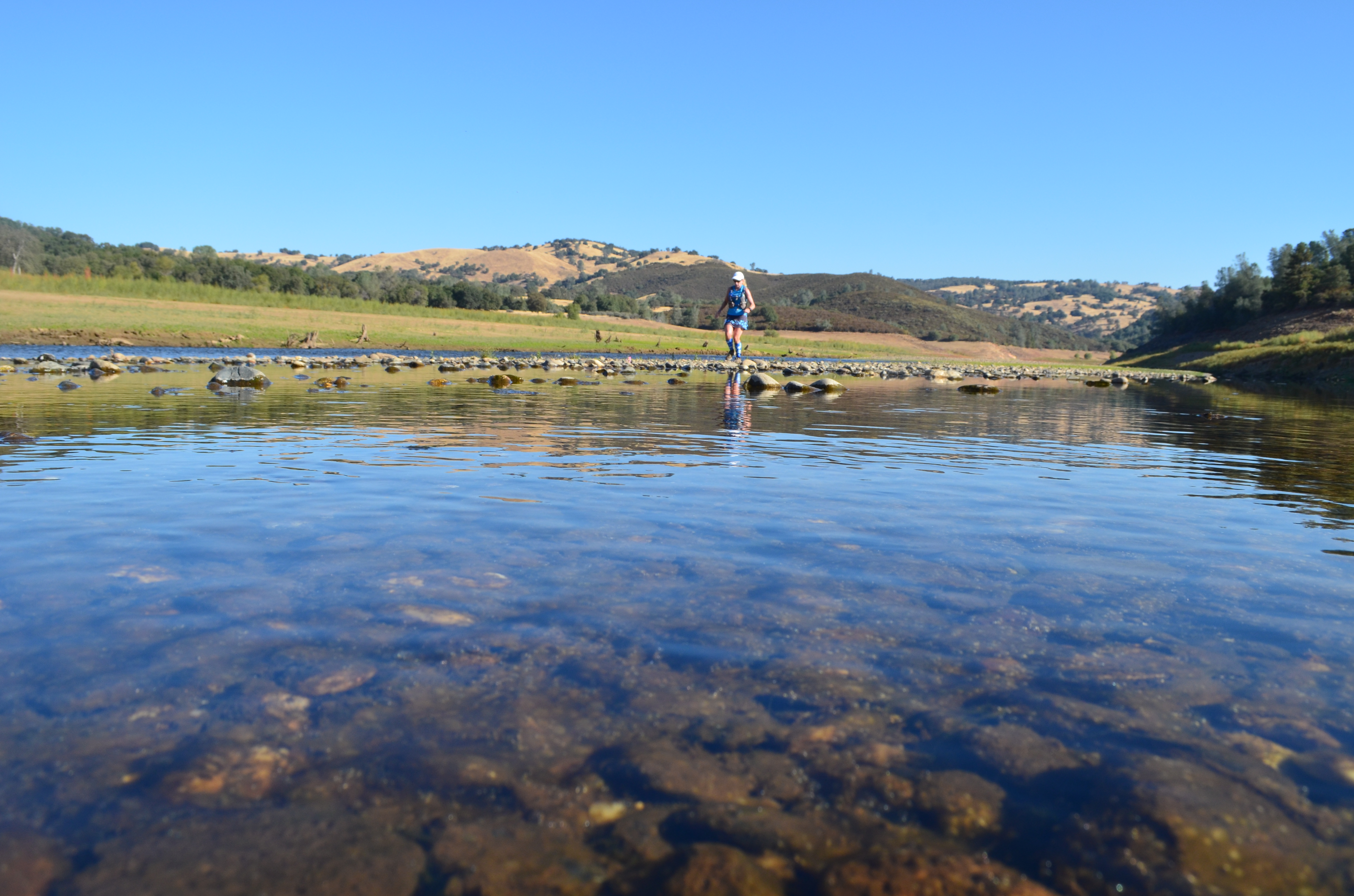
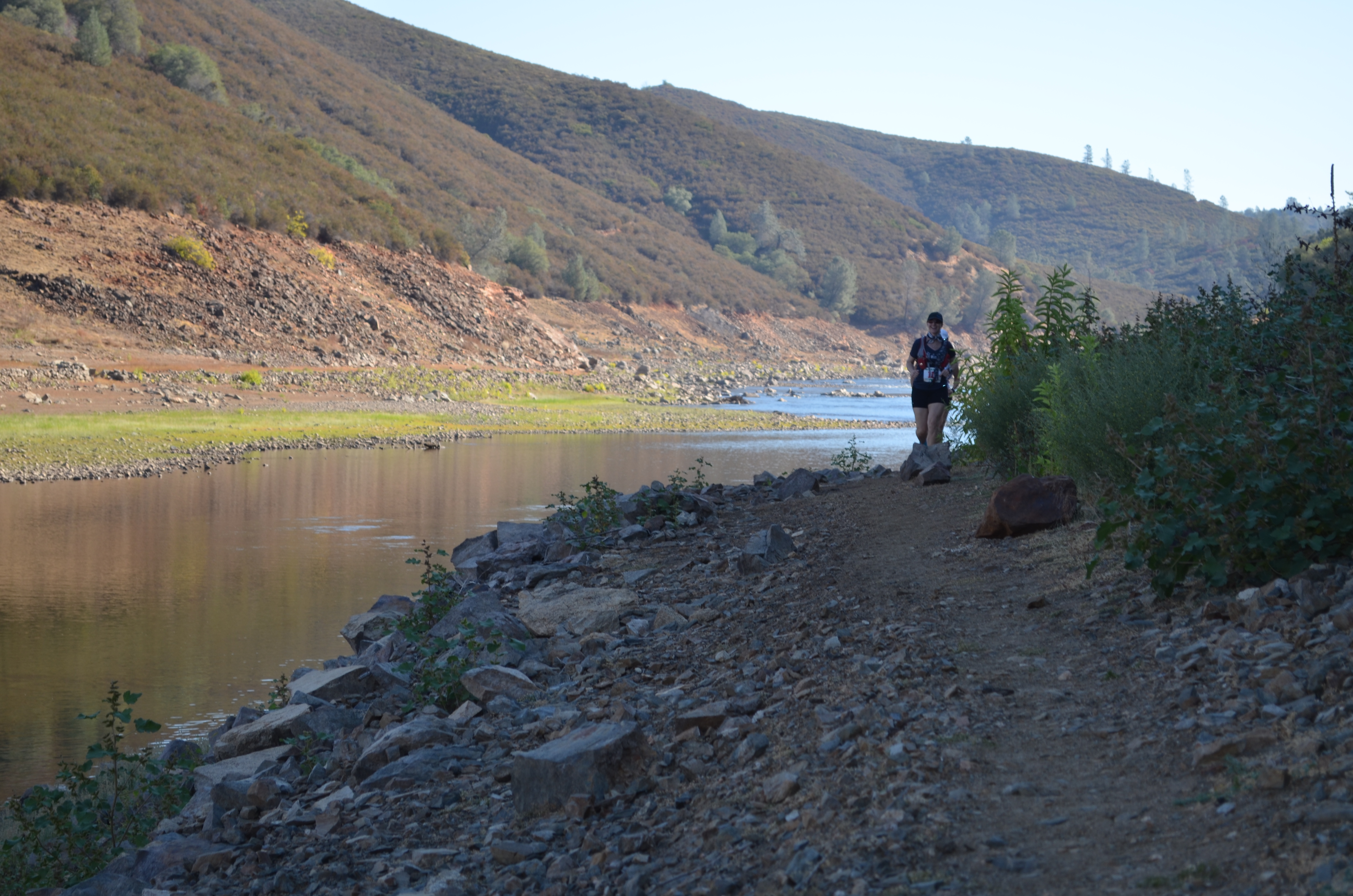
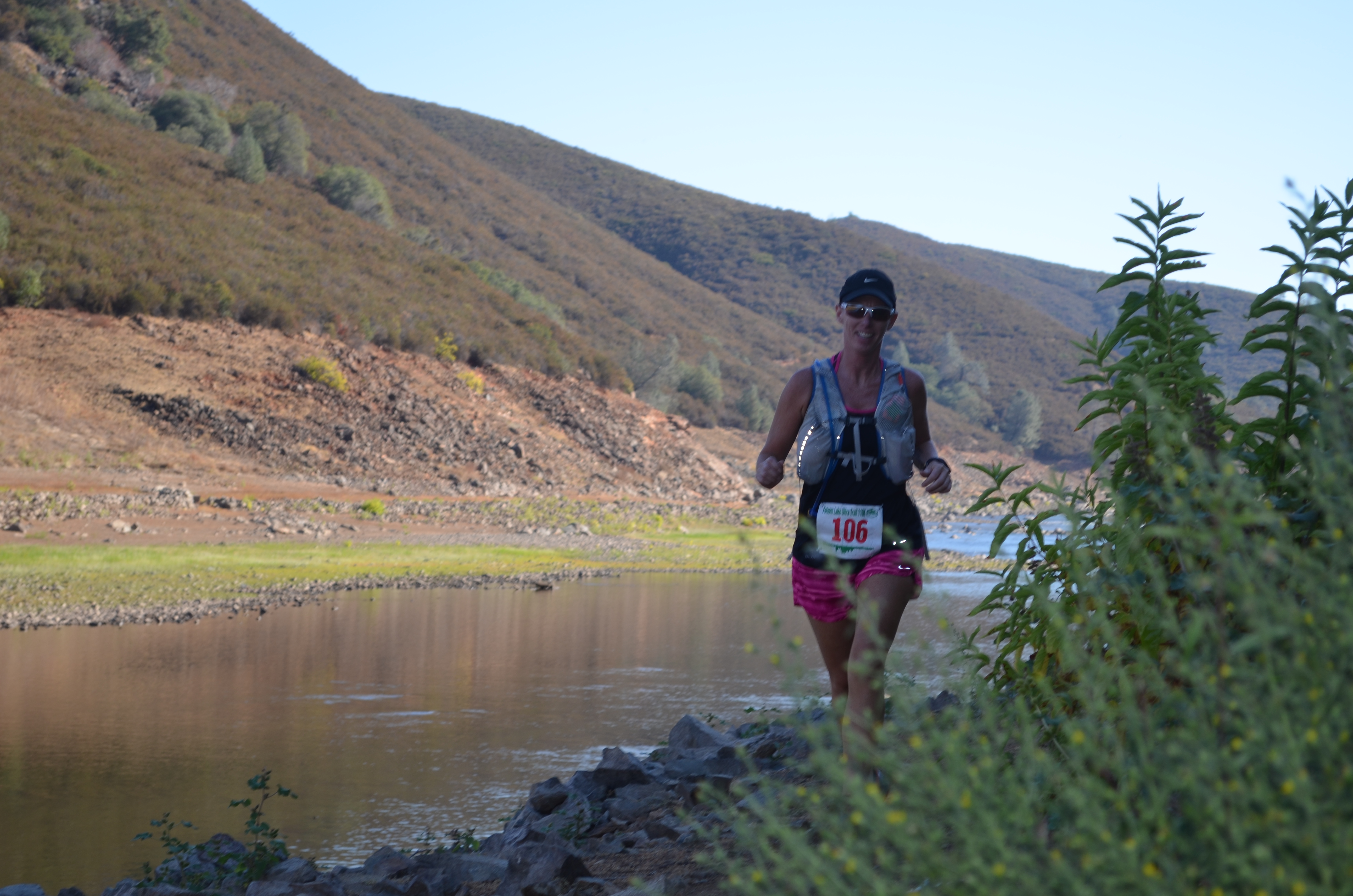
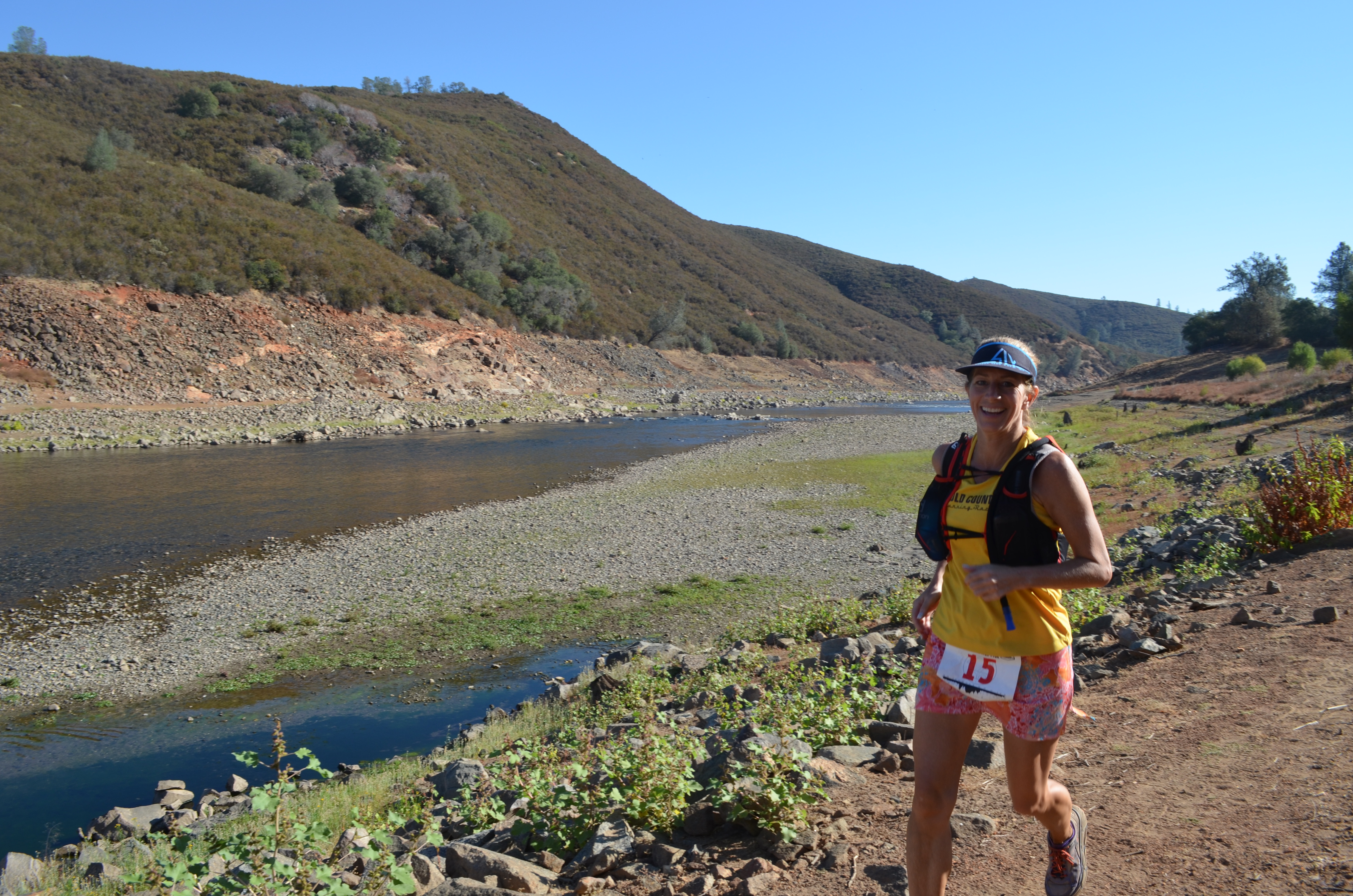
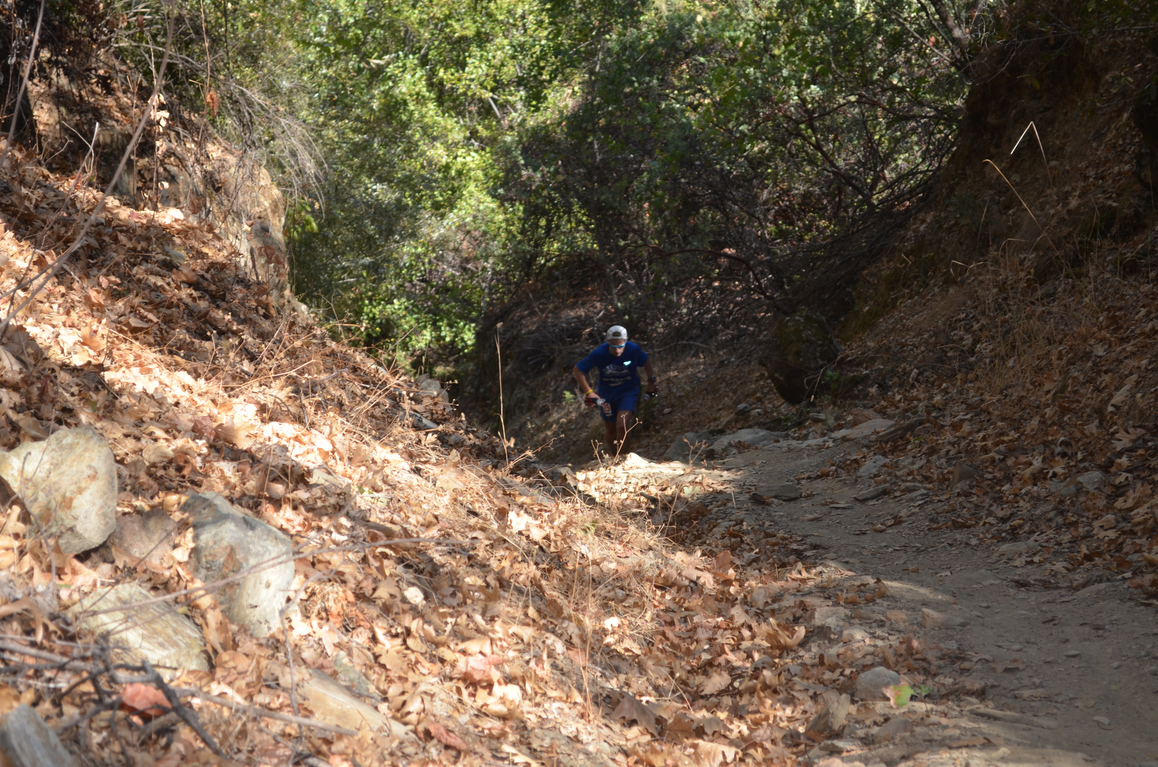
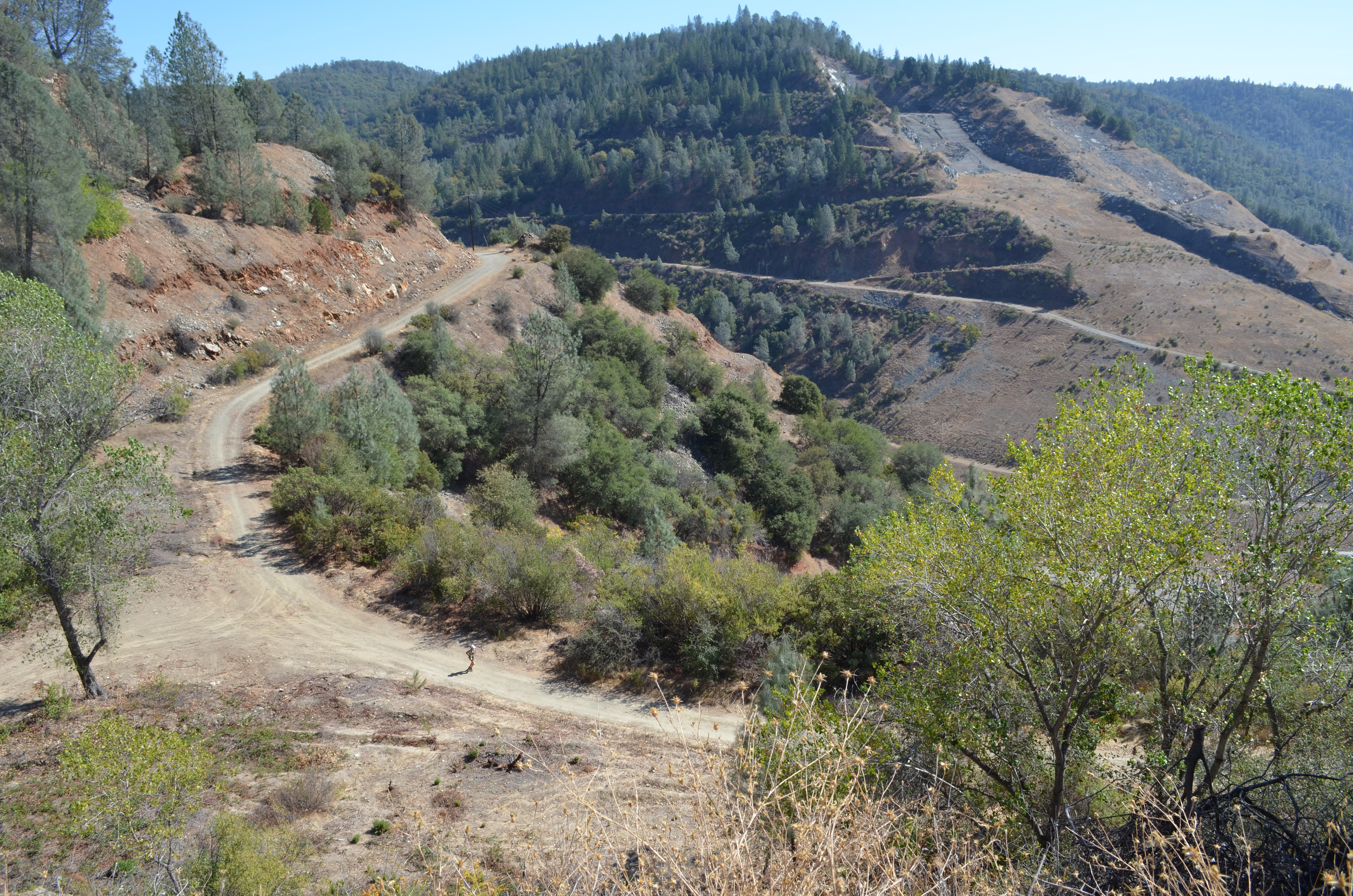
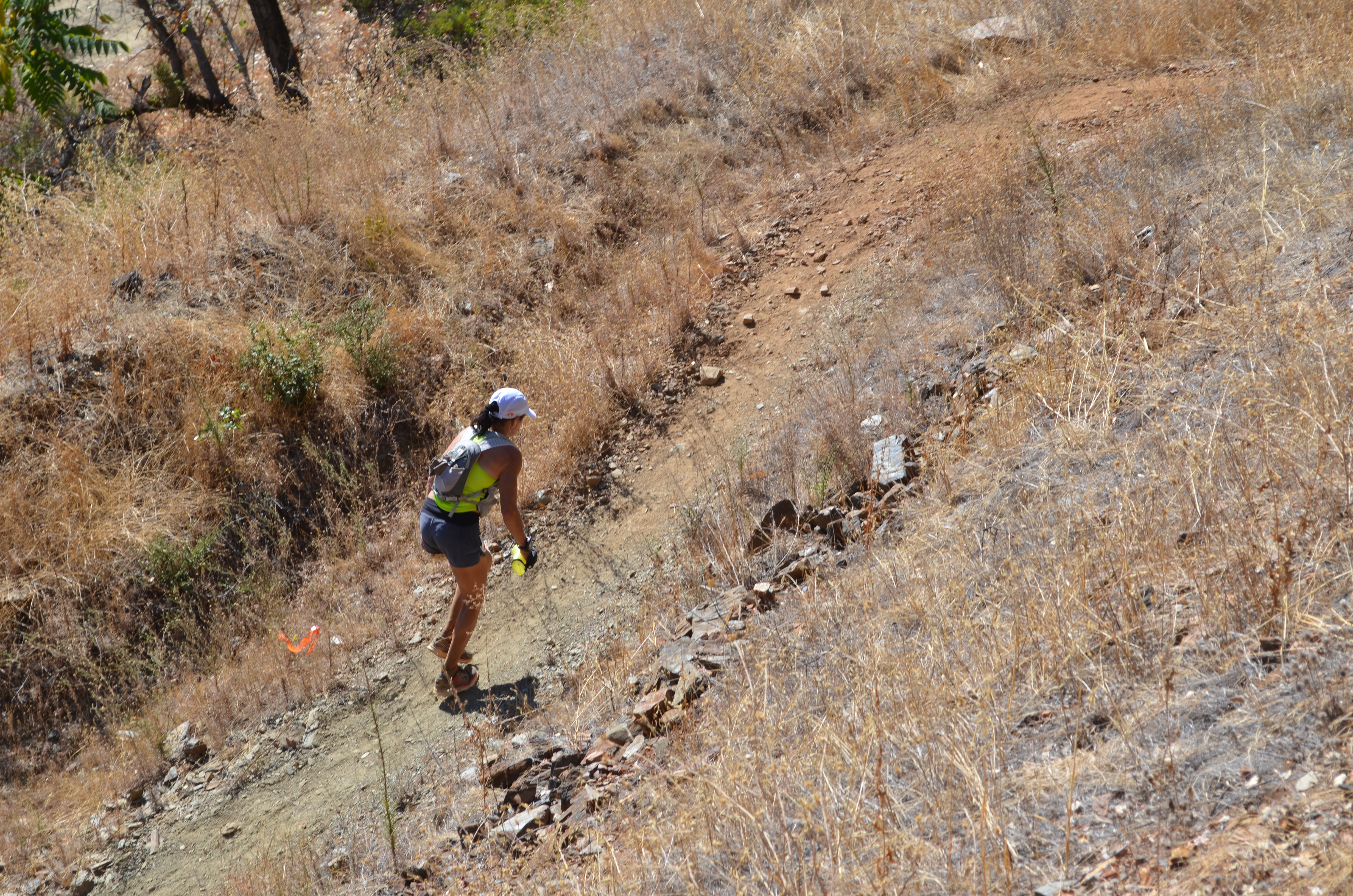
COURSE PICTURES